1
/
of
1
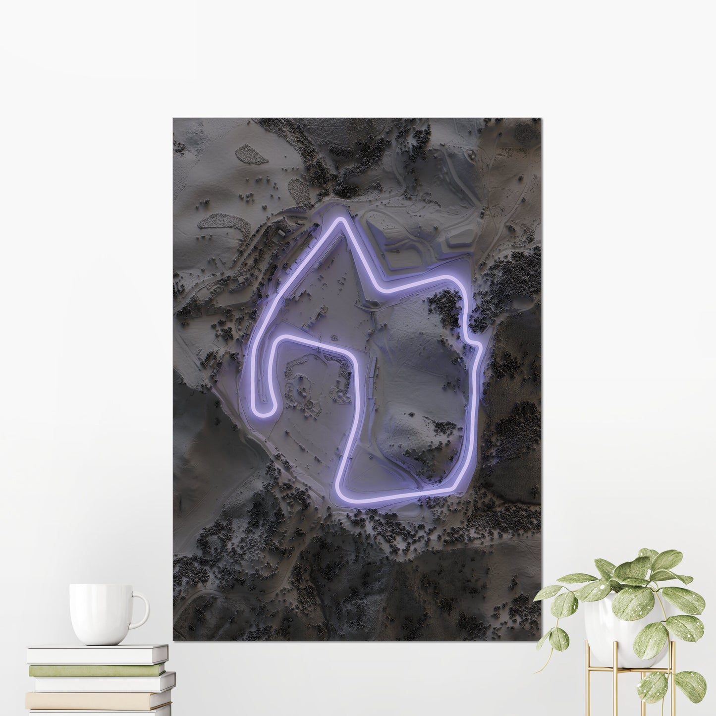
Laguna Seca Circuit ~ 2D Shaded Relief Map Print Poster
Laguna Seca Circuit ~ 2D Shaded Relief Map Print Poster
Regular price
£41.99 GBP
Regular price
£59.99 GBP
Sale price
£41.99 GBP
Unit price
/
per
Tax included.
Shipping calculated at checkout.
Couldn't load pickup availability
This is a print showing a relief of the Laguna Seca Circuit in California, with a printed neon lighting effect.
Starting with LIDAR data collected from planes, satellites, and even the space shuttle, I create the landscape with modelling software to provide realistic lighting and shadows.
Please note, this is a flat 2D art print on paper with a shading effect to give it 3D-like detail.
This is for the unframed paper print. Any frame in the listing photo is for illustrative purposes.
All artwork is printed on matte 200gsm paper using the giclée technique to provide the most detail and best colour.
If you would like the print in a different orientation (portrait, landscape, square), please send a message.
All orders are printed on demand
A3+ prints are shipped in poster tubes.
Orders within the UK are sent by Royal Mail
This design uses terrain and image data from the EU Copernicus satellite. © DLR e.V. (2014-2018) and © Airbus Defence and Space GmbH 2022 provided under COPERNICUS by the European Union and ESA; all rights reserved.
Share